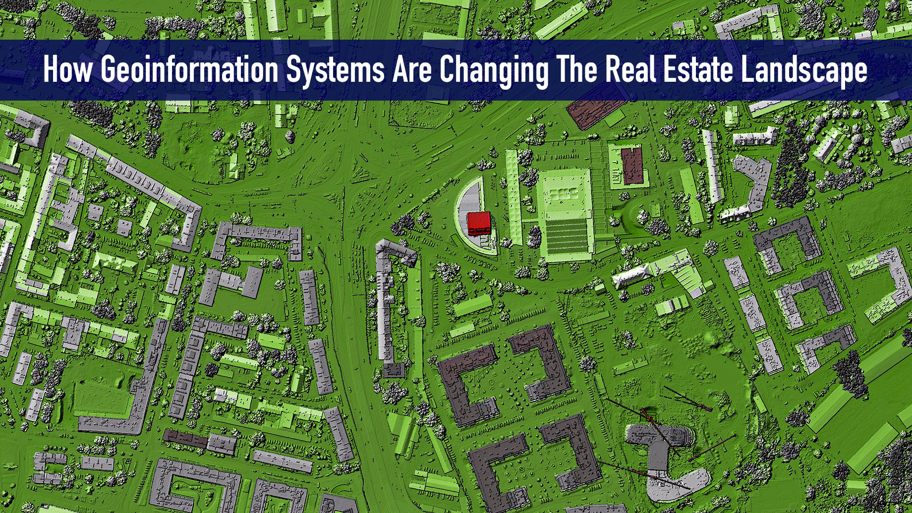
GIS is a powerful tool that combines the exact location of a property with detailed data from public documents and records, and the power of visualization tools. Its ability to integrate all these data and make in-depth analysis and computations makes GIS highly useful in finding solutions to real estate issues and concerns. Because of this, GIS is changing the real estate landscape.
A number of geospatial services companies have already sprung up to offer their GIS technology solutions for real estate companies to innovate. Here are some of the ways that GIS is changing the real estate landscape.
1. Find Land And Property Development
The primary task of a real estate broker or agent is to look for the most suitable piece of land or property for their client. They used to do this by scouring newspaper ads or going to the county office to go over tax rolls. Some drive around to check property signages. Things became a bit easier when online listings came along. It allowed people to just type up a location and the search engine comes up with relevant listings.
Applying GIS technology to the real estate sector takes this research capability to the next level. GIS and real estate are natural pairs since both are about the location of a specific parcel of land on the earth’s surface. With a GIS database, you can store millions of information and render visualizations of these data. This includes crucial information such as land ownership, zoning classification, and price.
It can even show which portions are prone to flooding. It can show other data such as municipal boundaries, census data, most recent sales, the volume of vehicle traffic, and other seemingly disconnected pieces of information. The GIS software can easily integrate all these pieces of information and generate a visual presentation.
2. Give In-Depth Comparison
GIS is also changing the real estate landscape with its capability to give an in-depth comparison of two or more real estate properties. With the vast amount of information stored in their database, a GIS software application can give you a highly detailed report on two or more properties. They can return the comparison that you need in an instant because of their computing power.
This capability to compare enables real estate brokers or agents to show their clients more information about their options. GIS can even show them more information other than the properties they’re looking at. They can use the GIS measurement tool to get the total area in acres. They can get the exact location coordinates and compute for the distance of nearby developments such as access to highways, public transportation, and commercial establishments. They can check out nearby schools, business districts, as well as industrial zones.
They can do all of these on one screen. They can dive into the stored information about every building, structure, or point of interest with just a few drags and clicks. This enables them to make decisions based on data.
3. Site Analysis And Planning
With the power and depth of its data analysis and computation, real estate developers can use GIS to choose the most suitable locations for their projects more accurately. In commercial real estate, choice of location is highly important to make the most earnings from the property.
Before digital maps and GIS came along, real estate developers used a combination of intuition and data analysis to get a sense of whether or not their project will earn good money. GIS gives them so much more computing power and depth of analysis. Some of them might still rely on their intuitive acumen for a good project. But GIS lights up a lot of what used to be unknown variables. As they say, numbers don’t lie.
4. Market Segmentation
The vast amount of information stored in GIS applications enables marketing professionals to have a better understanding of the market. For instance, they can search the common attributes of properties that have been bought by their target clientele.
They can check whether a certain market segment is buying houses from the same neighborhood or is choosing to move to different states. They can even cross-reference these with market surveys of real estate buyers. They can find out if these buyers made a decision to buy because there’s a good school nearby or because their workplace was nearby. In other words, the tool allows agents to dive deep into the profiles of buyers.
Geospatial Real Estate

The capability of GIS to integrate actual earth location, depth of data, and visualization makes it a powerful tool that can immensely change the landscape of the real estate industry. Real estate brokers and agents can now use GIS to give more in-depth information and vivid presentations to their clients.
GIS can also give more detailed information and analysis about the vicinity of the property. With simple drag and click tools, real estate agents can enclose nearby geographic zones and give their clients a deep dive into the potential of the investment they’re pitching.