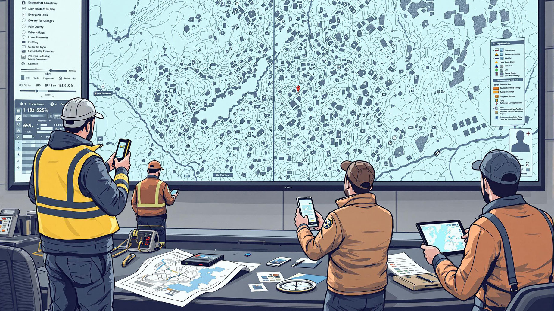
In the United Kingdom, an ordnance survey is recognised as the leading method used in mapping. Whether it’s for guiding emergency teams in rural areas or assisting engineers in major city projects, OS data is seen as the main authority. Most navigation systems and spatial analyses rely on the detailed information that Geographic Information Systems (GIS) provide. For those who require accuracy in their work, Ordnance Survey items from the UK Map Centre are a reliable source.
Coverage That Leaves No Gaps
While crowd-sourced and satellite maps may leave out small areas or reduce details in the countryside, OS maps always cover them. All square kilometres in the UK have been inspected, confirmed, and updated in a planned way. No matter if you’re on the coast or in a suburban area, everything is covered. Thanks to this careful method, the maps remain consistent, regardless of whether they are large site plans or small walking maps.
Built on Ground Truthing
The data from an ordnance survey is accurate because it is verified on the ground. Instead of relying solely on images from the sky, OS surveyors examine geographic features up close using the latest tools. The outcome is a higher level of quality than satellite data typically provides. You can see buildings, footpaths, the edge of the woodland, and changes in elevation exactly as they are, not only as the pixels suggest them.
Trusted by Critical Sectors
Emergency responders, planners, utility providers, and conservationists all depend on OS data for one reason: it’s never guesswork. Precision in this context translates to lives saved, infrastructure protected, and budgets used efficiently. From flood defence strategies to telecommunications rollouts, the implications of accurate mapping stretch far beyond convenience.
Constantly Updated, Never Static
If data doesn’t change, the decisions made will become outdated. This is why an ordnance survey makes updates to its datasets very often. Whenever new buildings, altered roads, or updated land parcels are encountered, the system handles them promptly. Because of this, users can adapt to new changes without having to make adjustments later.
Seamless Integration with Digital Workflows
In addition to paper maps, OS data is well-suited for use within computer systems. Since it works well with GIS, mobile field tools, and integrated planning software, there are no issues when moving between the office and the field. Because of this, data analysts and fieldworkers can perform well, even in unfamiliar places.
Beyond Just Topography
Even though mapping depends on terrain and boundaries, OS data offers more. You can also access administrative zones, land use categories, and address information in the offering. With all these details, maps become more than just guides for travellers and show important information about the environment, population, and infrastructure.
Measured Against Alternatives
Free platforms and global providers may offer convenience, but they rarely match Ordnance Survey’s blend of detail, consistency, and national focus. Their outputs, while useful for casual navigation, fall short when accuracy is mission-critical. In contrast, OS mapping remains consistent whether you’re tracing pipeline routes or defining legal property lines.
Backed by Centuries of Experience
Few organisations can trace their origins to military cartography in the 18th century. The historical depth behind OS is more than a curiosity—it reflects centuries of refinement in technique, scope, and responsibility. Over generations, this legacy has matured into a reputation for dependability that no newcomer can emulate.
Setting the Gold Standard
With numerous digital maps and location services available today, the Ordnance Survey remains the gold standard. Its thoroughness, reliability, and accuracy are unbeatable, so users can be certain that all boundaries, contours, and coordinates are correct. Anyone looking for reliable mapping can turn to platforms like the UK Map Centre, which provides this valuable resource and guarantees every project starts on a solid basis.